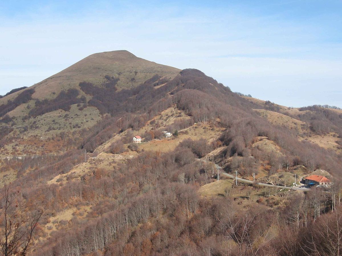
Das sehen Sie vom Gipfel
Der Rundblick vom Monte Carmo über volle 360 Grad, aus dem Höhenmodell gerechnet und mit den Namen der sichtbaren Gipfel beschriftet. Ziehen Sie das Bild zur Seite, der Regler blendet die Ferne aus.
Von hier aus sind 153 benannte Gipfel zu sehen. Der höchste: Monte Maggiorasca, 1798 m. Der fernste: Monte Ermetta, 54,9 km Luftlinie.
Die höchsten Gipfel im Blickfeld
- Monte Maggiorasca
- Monte Bue
- Monte Nero
- Monte Picchetto
- Monte Penna
- Monte Lesima
- Monte Ragola
- Monte Aiona
- Monte Ebro
- Monte Chiappo
Was in welcher Richtung zu sehen ist
Monte Ebro (1700 m, 8,7 km), Monte Chiappo (1699 m, 7,9 km), Monte Cavalmurone (1670 m, 4,6 km), Monte Legnà (1669 m, 3,8 km), Monte Cosfrone (1665 m, 9,5 km), Monte Prenardo (1655 m, 8,2 km), Poggio Rondino (1630 m, 1,6 km), Cima della Colletta (1490 m, 13,1 km) und 3 weitere.
Monte Lesima (1724 m, 8,5 km), Monte Tartago (1688 m, 8,9 km), Monte Terme (1489 m, 10,4 km), Monte Penice (1460 m, 21 km), Monte Aserei (1431 m, 23,3 km), Monte Castello (1375 m, 23,6 km), Monte Capra (1310 m, 25,8 km), Cima Liscaro (1306 m, 23,8 km) und 11 weitere.
Monte Maggiorasca (1798 m, 24,1 km), Monte Bue (1772 m, 24,2 km), Monte Nero (1752 m, 25,2 km), Monte Picchetto (1744 m, 24,1 km), Monte Ragola (1712 m, 27 km), Groppo delle Ali (1698 m, 23,8 km), Monte Alfeo (1651 m, 6,2 km), Monte Tomarlo (1601 m, 26 km) und 24 weitere.
Monte Penna (1736 m, 27,6 km), Monte Aiona (1701 m, 24,3 km), Monte Aiona Cima Nord (1692 m, 24,1 km), Monte Aiona Cima Sud (1688 m, 24,5 km), Monte Cantomoro (1654 m, 26 km), Monte delle Lame (1595 m, 22,5 km), Fabei (1590 m, 50,1 km), Monte Colombo (1562 m, 51,2 km) und 27 weitere.
Monte Pio di Brigneto (1462 m, 2,6 km), Monte Prelà (1407 m, 9,1 km), Monte su Propata (1352 m, 5,2 km), Bric Rondanina (1340 m, 6 km), Monte Caucaso (1250 m, 17,8 km), Monte Posasso (1234 m, 14,1 km), Monte Scietto (1150 m, 10,3 km), Colle (1132 m, 13,3 km) und 5 weitere.
Monte Antola (1597 m, 6,1 km), Monte delle Tre Croci (1556 m, 4 km), Monte Cremado (1513 m, 7,2 km), Monte Duso (1451 m, 8 km), Monte Propiano (1413 m, 4 km), Monte Carmo (1325 m, 9,2 km), Monte Riondo (1254 m, 9,7 km), Rocca Fontanassa (1172 m, 50,6 km) und 5 weitere.
Monte Beigua (1287 m, 54,2 km), Monte Sopra Costa (1280 m, 8,1 km), Monte Ermetta (1267 m, 54,9 km), Monte Figne (1172 m, 29,5 km), Monte Bossola (1137 m, 9,7 km), Monte Poggio (1081 m, 34,2 km), Costa Lavezzara (1081 m, 33,4 km), Bric Praioli (1074 m, 45,9 km) und 14 weitere.
Monte Roncasso (1536 m, 9,9 km), Monte Giarolo (1473 m, 13,6 km), Monte Colletto (1259 m, 2 km), Monte Osesa (906 m, 16,3 km), Monte Cravasana (870 m, 15,8 km), Il Poggio (853 m, 15,5 km), Croce degli Alpini (815 m, 16,8 km), Monte Castagnaro (780 m, 17,4 km).
Über den Monte Carmo
Der Monte Carmo ist ein 1642 m hoher Alpengipfel in den Alpen, in der Nähe von Monte Antola, Monte Castello, Monte Carmo. Der markierte Weg zum Gipfel hat die SAC-Schwierigkeit T1 Wandern. Plane deine Tour zum Monte Carmo kostenlos mit Peakflow – auf echten Wegen, mit Höhenprofil, Wetter und Offline-Karte.
Der Monte Carmo ist ein 1641 Meter hoher Berg des Ligurischen Apennins. Er befindet sich auf dem Treffpunkt dreier italienischer Regionen: Ligurien, Piemont und Emilia-Romagna.
Quelle der Beschreibung: Wikipedia (CC BY-SA), via Peakflow.
Wo der Gipfel steht
Gipfel in der Nähe

Häufige Fragen zum Monte Carmo
Welche Berge sieht man vom Monte Carmo?
Vom Gipfel aus sind 153 benannte Gipfel zu sehen. Die höchsten davon: Monte Maggiorasca (1798 m, 24,1 km), Monte Bue (1772 m, 24,2 km), Monte Nero (1752 m, 25,2 km), Monte Picchetto (1744 m, 24,1 km), Monte Penna (1736 m, 27,6 km). Der fernste sichtbare Gipfel ist Monte Ermetta in 54,9 km Luftlinie. Peakflow berechnet die Sicht aus dem Geländemodell und beschriftet sie im 360°-Rundblick.
Wie hoch ist der Monte Carmo?
Der Monte Carmo ist 1642 m hoch und liegt in den Alpen. In der Umgebung liegen Monte Antola (1597 m), Monte Castello (1092 m), Monte Carmo (1325 m).
Wie schwierig ist der Aufstieg zum Monte Carmo?
Der markierte Weg zum Monte Carmo ist nach der SAC-Bergwanderskala mit T1 Wandern bewertet. Das ist ein einfacher Wanderweg.
Tour planen mit Peakflow
Route auf echten Wegen, farbiges Höhenprofil, Wetterfenster, Wasserquellen, Schneelage und GPX-Export – kostenlos, ohne Werbung, ohne Abo.
Jetzt Tour zum Monte Carmo planen →
